
Tougan topographic map
Interactive map
Click on the map to display elevation.
About this map
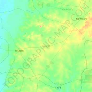
Name: Tougan topographic map, elevation, terrain.
Location: Tougan, Sourou, Boucle du Mouhoun, BP 131 TOUGAN BF, Burkina (12.88915 -3.20366 13.29518 -2.69967)
Average elevation: 293 m
Minimum elevation: 262 m
Maximum elevation: 408 m
Other topographic maps
Click on a map to view its topography, its elevation and its terrain.