
Dalo topographic map
Interactive map
Click on the map to display elevation.
About this map
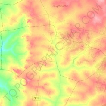
Name: Dalo topographic map, elevation, terrain.
Location: Dalo, Ziro, Centre-Ouest, Burkina (11.68857 -2.27410 11.83232 -2.00009)
Average elevation: 331 m
Minimum elevation: 284 m
Maximum elevation: 370 m
Other topographic maps
Click on a map to view its topography, its elevation and its terrain.