
Thank you for supporting this site ❤️
Make a donation
Make a donation
Ufhusen topographic map
Click on the map to display elevation.
Thank you for supporting this site ❤️
Make a donation
Make a donation
About this map
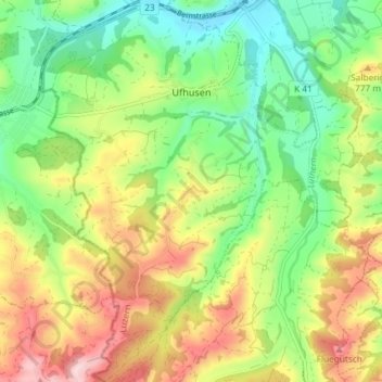
Name: Ufhusen topographic map, elevation, terrain.
Location: Ufhusen, Lucerne, 6153, Suisse (47.07880 7.86692 47.12859 7.92874)
Average elevation: 722 m
Minimum elevation: 610 m
Maximum elevation: 879 m
Thank you for supporting this site ❤️
Make a donation
Make a donation
Other topographic maps
Click on a map to view its topography, its elevation and its terrain.
Thank you for supporting this site ❤️
Make a donation
Make a donation