
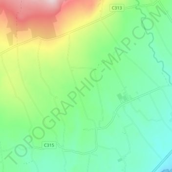
Ballyveagh More topographic map
Interactive map
Click on the map to display elevation.
About this map
Name: Ballyveagh More topographic map, elevation, terrain.
Average elevation: 109 m
Minimum elevation: 0 m
Maximum elevation: 342 m
Other topographic maps
Click on a map to view its topography, its elevation and its terrain.
Ballydesland
Royaume-Uni > Irlande du Nord > Newry
Ballydesland, Newry, County Down, Irlande du Nord, Royaume-Uni
Average elevation: 93 m
Ballynagross
Royaume-Uni > Irlande du Nord > Newry
Ballynagross, Newry, County Down, Irlande du Nord, Royaume-Uni
Average elevation: 143 m
Drummiller
Royaume-Uni > Irlande du Nord > Newry
Drummiller, Newry, County Down, Irlande du Nord, Royaume-Uni
Average elevation: 50 m