Alvor topographic map
Click on the map to display elevation.
Alvor
The Prince Regent ordered, in the name of Manuel of Portugal, the elevation of Alvor to vila (town) on 28 February 1495, which was confirmed in a secondary diploma on 28 December 1498.
About this map
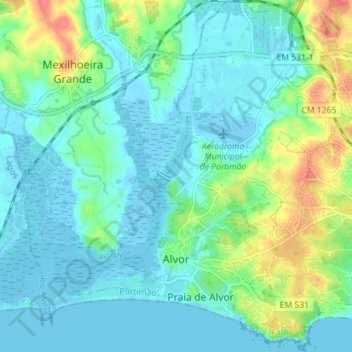
Name: Alvor topographic map, elevation, terrain.
Location: Alvor, Portimão, Faro, Portugal (37.11421 -8.62157 37.17064 -8.56067)
Average elevation: 15 m
Minimum elevation: -3 m
Maximum elevation: 62 m
Other topographic maps
Click on a map to view its topography, its elevation and its terrain.