
གསེར་ཆེན་རྫོང 共和县 topographic map
Interactive map
Click on the map to display elevation.
About this map
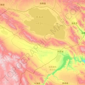
Name: གསེར་ཆེན་རྫོང 共和县 topographic map, elevation, terrain.
Location: གསེར་ཆེན་རྫོང 共和县, 海南州, Qinghai, RPC (35.76328 98.91955 37.18109 101.21737)
Average elevation: 3,452 m
Minimum elevation: 2,302 m
Maximum elevation: 5,288 m
Other topographic maps
Click on a map to view its topography, its elevation and its terrain.