
Thank you for supporting this site ❤️
Make a donation
Make a donation
Rosemary topographic map
Click on the map to display elevation.
Thank you for supporting this site ❤️
Make a donation
Make a donation
About this map
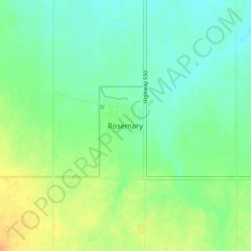
Name: Rosemary topographic map, elevation, terrain.
Location: Rosemary, County of Newell, Alberta, T0J 2W0, Canada (50.73504 -112.10693 50.77504 -112.06693)
Average elevation: 747 m
Minimum elevation: 735 m
Maximum elevation: 765 m
Thank you for supporting this site ❤️
Make a donation
Make a donation
Other topographic maps
Click on a map to view its topography, its elevation and its terrain.
Dinosaur Provincial Park
Canada > Alberta > County of Newell
The park is situated in the valley of the Red Deer River, which is noted for its striking badland topography. The park is well known for being one of the richest dinosaur fossil locales in the world. Fifty-eight dinosaur species have been discovered at the park and more than 500 specimens have been removed and…
Average elevation: 712 m