
Thank you for supporting this site ❤️
Make a donation
Make a donation
Hythe topographic map
Click on the map to display elevation.
Thank you for supporting this site ❤️
Make a donation
Make a donation
About this map
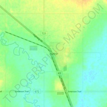
Name: Hythe topographic map, elevation, terrain.
Location: Hythe, County of Grande Prairie, Alberta, T0H 2C0, Canada (55.31015 -119.57774 55.35015 -119.53774)
Average elevation: 747 m
Minimum elevation: 736 m
Maximum elevation: 761 m
Thank you for supporting this site ❤️
Make a donation
Make a donation