
Distrito de Dongcheng topographic map
Interactive map
Click on the map to display elevation.
About this map
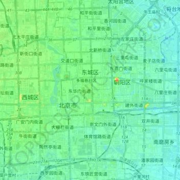
Name: Distrito de Dongcheng topographic map, elevation, terrain.
Location: Distrito de Dongcheng, Pekín, 100010, China (39.85716 116.37227 39.97265 116.44468)
Average elevation: 47 m
Minimum elevation: 34 m
Maximum elevation: 96 m
Other topographic maps
Click on a map to view its topography, its elevation and its terrain.