
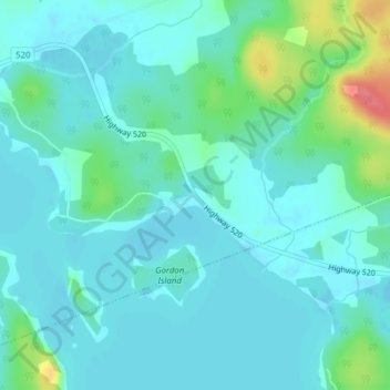
Cecebe topographic map
Interactive map
Click on the map to display elevation.
About this map
Name: Cecebe topographic map, elevation, terrain.
Average elevation: 294 m
Minimum elevation: 280 m
Maximum elevation: 352 m
Other topographic maps
Click on a map to view its topography, its elevation and its terrain.
Crawford Lake
Canada > Ontario > Parry Sound District > Magnetawan
Crawford Lake, Magnetawan, Parry Sound District, Central Ontario, Ontario, Canada
Average elevation: 285 m
Ahmic Lake
Canada > Ontario > Parry Sound District > Magnetawan
Ahmic Lake, Magnetawan, Parry Sound District, Central Ontario, Ontario, Canada
Average elevation: 298 m
Spence
Canada > Ontario > Parry Sound District > Magnetawan
Spence, Magnetawan, Parry Sound District, Central Ontario, Ontario, Canada
Average elevation: 314 m