
Thank you for supporting this site ❤️
Make a donation
Make a donation
State of Georgia topographic map
Click on the map to display elevation.
Thank you for supporting this site ❤️
Make a donation
Make a donation
About this map
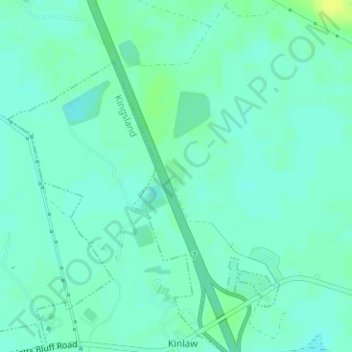
Name: State of Georgia topographic map, elevation, terrain.
Location: State of Georgia, Camden County, Georgia, United States (30.85623 -81.67740 30.85885 -81.67526)
Average elevation: 6 m
Minimum elevation: -1 m
Maximum elevation: 16 m
Thank you for supporting this site ❤️
Make a donation
Make a donation
Other topographic maps
Click on a map to view its topography, its elevation and its terrain.
Thank you for supporting this site ❤️
Make a donation
Make a donation
Palmetto Pines Mobile Home Park
United States > Georgia > Camden County > Kingsland
Average elevation: 6 m
Thank you for supporting this site ❤️
Make a donation
Make a donation
Thank you for supporting this site ❤️
Make a donation
Make a donation