
Thank you for supporting this site ❤️
Make a donation
Make a donation
Whitewater Baldy topographic map
Click on the map to display elevation.
Thank you for supporting this site ❤️
Make a donation
Make a donation
About this map
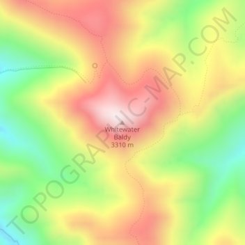
Name: Whitewater Baldy topographic map, elevation, terrain.
Location: Whitewater Baldy, Catron County, New Mexico, United States (33.32363 -108.64177 33.32373 -108.64167)
Average elevation: 3,013 m
Minimum elevation: 2,685 m
Maximum elevation: 3,329 m
Thank you for supporting this site ❤️
Make a donation
Make a donation
Other topographic maps
Click on a map to view its topography, its elevation and its terrain.