
Thank you for supporting this site ❤️
Make a donation
Make a donation
Prairie Lake topographic map
Click on the map to display elevation.
Thank you for supporting this site ❤️
Make a donation
Make a donation
About this map
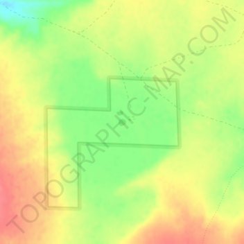
Name: Prairie Lake topographic map, elevation, terrain.
Location: Prairie Lake, Catron County, New Mexico, United States (33.70153 -108.01266 33.70233 -108.01171)
Average elevation: 2,342 m
Minimum elevation: 2,305 m
Maximum elevation: 2,370 m
Thank you for supporting this site ❤️
Make a donation
Make a donation
Other topographic maps
Click on a map to view its topography, its elevation and its terrain.