
Thank you for supporting this site ❤️
Make a donation
Make a donation
Bow Island topographic map
Click on the map to display elevation.
Thank you for supporting this site ❤️
Make a donation
Make a donation
About this map
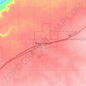
Name: Bow Island topographic map, elevation, terrain.
Location: Bow Island, Town of Bow Island, Alberta, T0K 0G0, Canada (49.82968 -111.41935 49.90968 -111.33935)
Average elevation: 795 m
Minimum elevation: 691 m
Maximum elevation: 818 m
Thank you for supporting this site ❤️
Make a donation
Make a donation