
Thank you for supporting this site ❤️
Make a donation
Make a donation
Heber topographic map
Click on the map to display elevation.
Thank you for supporting this site ❤️
Make a donation
Make a donation
About this map
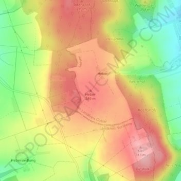
Name: Heber topographic map, elevation, terrain.
Location: Heber, Seesen, Landkreis Goslar, Niedersachsen, Deutschland (51.88207 10.10245 51.88217 10.10255)
Average elevation: 246 m
Minimum elevation: 161 m
Maximum elevation: 311 m
Thank you for supporting this site ❤️
Make a donation
Make a donation
Other topographic maps
Click on a map to view its topography, its elevation and its terrain.