
60m topographic map
Click on the map to display elevation.
About this map
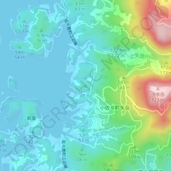
Name: 60m topographic map, elevation, terrain.
Location: 60m, Sasebo, Nagasaki Prefecture, Japan (33.23539 129.57023 33.23549 129.57033)
Average elevation: 67 m
Minimum elevation: 0 m
Maximum elevation: 311 m
Other topographic maps
Click on a map to view its topography, its elevation and its terrain.