
Kuelap topographic map
Interactive map
Click on the map to display elevation.
About this map
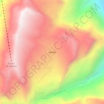
Name: Kuelap topographic map, elevation, terrain.
Location: Kuelap, Tingo, Luya, Amazonas, 01415, Peru (-6.44310 -77.93072 -6.40310 -77.89072)
Average elevation: 2,600 m
Minimum elevation: 1,823 m
Maximum elevation: 3,065 m
Other topographic maps
Click on a map to view its topography, its elevation and its terrain.