
Cuchapampa topographic map
Interactive map
Click on the map to display elevation.
About this map
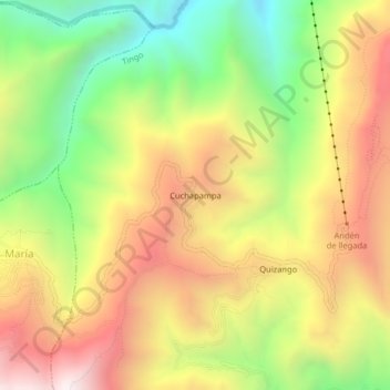
Name: Cuchapampa topographic map, elevation, terrain.
Location: Cuchapampa, Tingo, Luya, Amazonas, Peru (-6.44337 -77.96216 -6.40337 -77.92216)
Average elevation: 2,681 m
Minimum elevation: 2,050 m
Maximum elevation: 3,316 m
Other topographic maps
Click on a map to view its topography, its elevation and its terrain.