
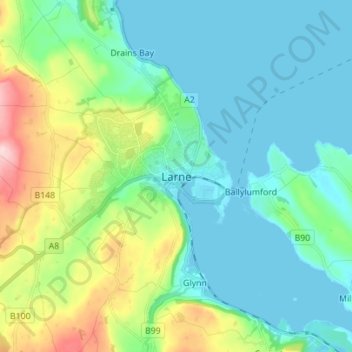
Larne topographic map
Interactive map
Click on the map to display elevation.
About this map
Name: Larne topographic map, elevation, terrain.
Average elevation: 54 m
Minimum elevation: -2 m
Maximum elevation: 229 m
Other topographic maps
Click on a map to view its topography, its elevation and its terrain.
Belfast
Royaume-Uni > Irlande du Nord > County Antrim
Belfast, County Antrim, Irlande du Nord, Royaume-Uni
Average elevation: 92 m
Belfast
Royaume-Uni > Irlande du Nord > County Antrim
Belfast, County Antrim, Ulster, Irlande du Nord, BT1 5JD, Royaume-Uni
Average elevation: 87 m