
Thank you for supporting this site ❤️
Make a donation
Make a donation
Chigwell topographic map
Click on the map to display elevation.
Thank you for supporting this site ❤️
Make a donation
Make a donation
About this map
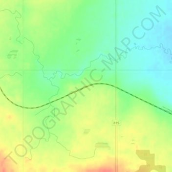
Name: Chigwell topographic map, elevation, terrain.
Location: Chigwell, Lacombe County, Alberta, T0C 0Y0, Canada (52.47971 -113.54916 52.49971 -113.52916)
Average elevation: 881 m
Minimum elevation: 859 m
Maximum elevation: 908 m
Thank you for supporting this site ❤️
Make a donation
Make a donation
Other topographic maps
Click on a map to view its topography, its elevation and its terrain.