
Thank you for supporting this site ❤️
Make a donation
Make a donation
Sainte-Catherine topographic map
Click on the map to display elevation.
Thank you for supporting this site ❤️
Make a donation
Make a donation
About this map
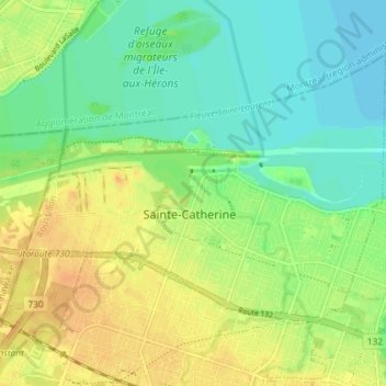
Name: Sainte-Catherine topographic map, elevation, terrain.
Location: Sainte-Catherine, Roussillon, Montérégie, Quebec, Canada (45.38484 -73.61171 45.42152 -73.53954)
Average elevation: 20 m
Minimum elevation: 6 m
Maximum elevation: 35 m
Thank you for supporting this site ❤️
Make a donation
Make a donation