
Lake Mburo topographic map
Interactive map
Click on the map to display elevation.
About this map
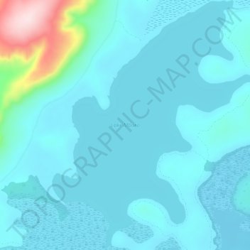
Name: Lake Mburo topographic map, elevation, terrain.
Location: Lake Mburo, Kiruhura, Western Region, Ouganda (-0.69303 30.91238 -0.63473 30.96170)
Average elevation: 1,283 m
Minimum elevation: 1,240 m
Maximum elevation: 1,592 m
Other topographic maps
Click on a map to view its topography, its elevation and its terrain.