
Rwakitura topographic map
Interactive map
Click on the map to display elevation.
About this map
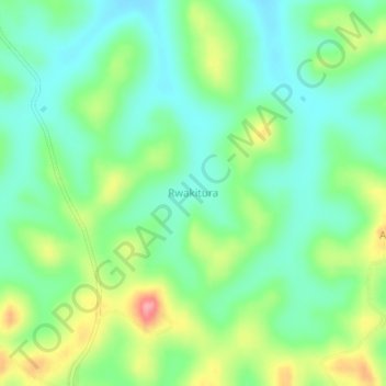
Name: Rwakitura topographic map, elevation, terrain.
Location: Rwakitura, Kiruhura, Western Region, Ouganda (-0.15589 30.93730 -0.11589 30.97730)
Average elevation: 1,337 m
Minimum elevation: 1,300 m
Maximum elevation: 1,409 m
Other topographic maps
Click on a map to view its topography, its elevation and its terrain.