
Thank you for supporting this site ❤️
Make a donation
Make a donation
Stalwart topographic map
Click on the map to display elevation.
Thank you for supporting this site ❤️
Make a donation
Make a donation
About this map
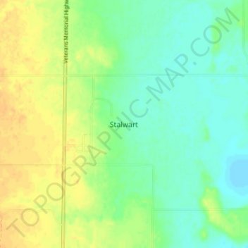
Name: Stalwart topographic map, elevation, terrain.
Location: Stalwart, Big Arm No. 251, Saskatchewan, Canada (51.21333 -105.45333 51.25333 -105.41333)
Average elevation: 503 m
Minimum elevation: 491 m
Maximum elevation: 517 m
Thank you for supporting this site ❤️
Make a donation
Make a donation