
偏吉乡 topographic map
Interactive map
Click on the map to display elevation.
About this map
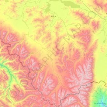
Name: 偏吉乡 topographic map, elevation, terrain.
Location: 偏吉乡, Zhongba, 日喀则市, Tibet, Chine (29.15862 83.19710 29.85924 83.92366)
Average elevation: 5,035 m
Minimum elevation: 3,740 m
Maximum elevation: 6,328 m
Other topographic maps
Click on a map to view its topography, its elevation and its terrain.