
森里错 topographic map
Interactive map
Click on the map to display elevation.
About this map
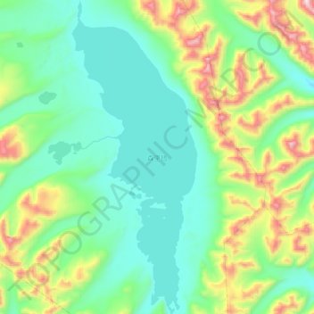
Name: 森里错 topographic map, elevation, terrain.
Location: 森里错, Zhongba, 日喀则市 གཞིས་ཀ་རྩེ་གྲོང་ཁྱེར།, Tibet, Chine (30.32300 84.00300 30.52969 84.09900)
Average elevation: 5,590 m
Minimum elevation: 5,341 m
Maximum elevation: 6,279 m
Other topographic maps
Click on a map to view its topography, its elevation and its terrain.