
Yura topographic map
Interactive map
Click on the map to display elevation.
About this map
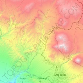
Name: Yura topographic map, elevation, terrain.
Location: Yura, Province of Arequipa, Arequipa, Peru (-16.39541 -71.90692 -15.92534 -71.28713)
Average elevation: 3,318 m
Minimum elevation: 1,219 m
Maximum elevation: 6,043 m