
Cerro Las Minas topographic map
Interactive map
Click on the map to display elevation.
About this map
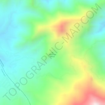
Name: Cerro Las Minas topographic map, elevation, terrain.
Location: Cerro Las Minas, Buesaco, Nariño, Kolumbien (1.39764 -77.22430 1.39774 -77.22420)
Average elevation: 1,934 m
Minimum elevation: 1,726 m
Maximum elevation: 2,324 m
Other topographic maps
Click on a map to view its topography, its elevation and its terrain.