
La Boquilla topographic map
Interactive map
Click on the map to display elevation.
About this map
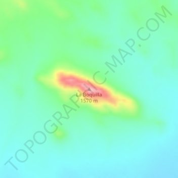
Name: La Boquilla topographic map, elevation, terrain.
Location: La Boquilla, Jiménez, Chihuahua, México (26.93774 -104.55791 26.93784 -104.55781)
Average elevation: 1,449 m
Minimum elevation: 1,410 m
Maximum elevation: 1,580 m
Other topographic maps
Click on a map to view its topography, its elevation and its terrain.