
Parroquia Bella Vista topographic map
Interactive map
Click on the map to display elevation.
About this map
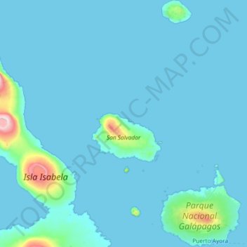
Name: Parroquia Bella Vista topographic map, elevation, terrain.
Location: Parroquia Bella Vista, Cantón Santa Cruz, Galápagos, Ecuador (-0.77529 -90.87103 0.38680 -90.14098)
Average elevation: 53 m
Minimum elevation: 0 m
Maximum elevation: 1,399 m
Other topographic maps
Click on a map to view its topography, its elevation and its terrain.
Santa Rosa
Ecuador > Galápagos > Cantón Santa Cruz
Santa Rosa, Parroquia Santa Rosa, Cantón Santa Cruz, Galápagos, 200106, Ecuador
Average elevation: 421 m