
Santa Rosa topographic map
Interactive map
Click on the map to display elevation.
About this map
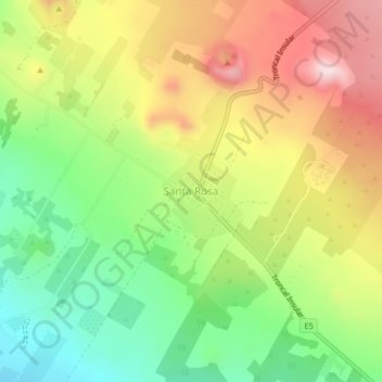
Name: Santa Rosa topographic map, elevation, terrain.
Average elevation: 421 m
Minimum elevation: 242 m
Maximum elevation: 634 m
Other topographic maps
Click on a map to view its topography, its elevation and its terrain.
Parroquia Bella Vista
Ecuador > Galápagos > Cantón Santa Cruz
Parroquia Bella Vista, Cantón Santa Cruz, Galápagos, Ecuador
Average elevation: 53 m