
Thank you for supporting this site ❤️
Make a donation
Make a donation
Mazur topographic map
Click on the map to display elevation.
Thank you for supporting this site ❤️
Make a donation
Make a donation
About this map
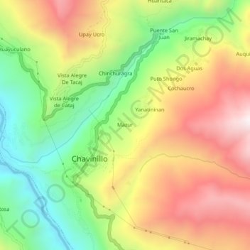
Name: Mazur topographic map, elevation, terrain.
Location: Mazur, Chavinillo, Province of Yarowilca, Huánuco, Peru (-9.87332 -76.62261 -9.83332 -76.58261)
Average elevation: 3,584 m
Minimum elevation: 3,110 m
Maximum elevation: 4,101 m
Thank you for supporting this site ❤️
Make a donation
Make a donation