
Minton Lake topographic map
Interactive map
Click on the map to display elevation.
About this map
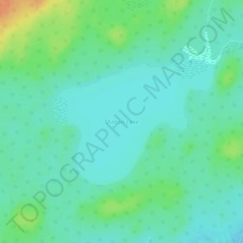
Name: Minton Lake topographic map, elevation, terrain.
Location: Minton Lake, Lynn Lake, Manitoba, Canada (56.89170 -100.91136 56.90571 -100.87817)
Average elevation: 336 m
Minimum elevation: 325 m
Maximum elevation: 366 m
Other topographic maps
Click on a map to view its topography, its elevation and its terrain.