
Make a donation
Zehrental topographic map
Click on the map to display elevation.
Make a donation
Zehrental
Aland | Altmärkische Höhe | Altmärkische Wische | Arneburg | Bismark (Altmark) | Eichstedt (Altmark) | Goldbeck | Hassel | Havelberg | Hohenberg-Krusemark | Iden | Kamern | Klietz | Osterburg (Altmark) | Rochau | Sandau (Elbe) | Schollene | Schönhausen (Elbe) | Seehausen (Altmark) | Stendal | Tangerhütte | Tangermünde | Werben (Elbe) | Wust-Fischbeck | Zehrental
Make a donation
About this map
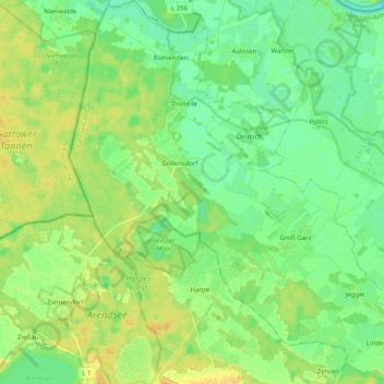
Name: Zehrental topographic map, elevation, terrain.
Location: Zehrental, Seehausen, Stendal, Sachsen-Anhalt, Deutschland (52.88862 11.49251 53.00844 11.68836)
Average elevation: 23 m
Minimum elevation: 13 m
Maximum elevation: 36 m
Make a donation
Other topographic maps
Click on a map to view its topography, its elevation and its terrain.
Gutshaus Hohenwulsch
Deutschland > Sachsen-Anhalt > Stendal > Bismark (Altmark) > Hohenwulsch
Average elevation: 55 m
Make a donation
Schnöggersburg (Wüstung)
Deutschland > Sachsen-Anhalt > Stendal > Stendal > Staats
Average elevation: 100 m
Make a donation
Make a donation