
Polleur topographic map
Interactive map
Click on the map to display elevation.
About this map
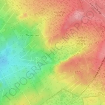
Name: Polleur topographic map, elevation, terrain.
Location: Polleur, Malmedy, Liège, Wallonie, 4960, Belgique (50.49887 6.03435 50.50689 6.07301)
Average elevation: 632 m
Minimum elevation: 569 m
Maximum elevation: 681 m
Other topographic maps
Click on a map to view its topography, its elevation and its terrain.