
Thank you for supporting this site ❤️
Make a donation
Make a donation
Tahota Creek topographic map
Click on the map to display elevation.
Thank you for supporting this site ❤️
Make a donation
Make a donation
About this map
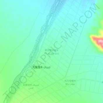
Name: Tahota Creek topographic map, elevation, terrain.
Location: Tahota Creek, Pishan County, Hotan Prefecture, Xinjiang, China (37.24858 77.81926 37.28858 77.85926)
Average elevation: 2,191 m
Minimum elevation: 2,149 m
Maximum elevation: 2,344 m
Thank you for supporting this site ❤️
Make a donation
Make a donation