
Thank you for supporting this site ❤️
Make a donation
Make a donation
Lac-Legendre topographic map
Click on the map to display elevation.
Thank you for supporting this site ❤️
Make a donation
Make a donation
About this map
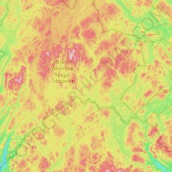
Name: Lac-Legendre topographic map, elevation, terrain.
Location: Lac-Legendre, Matawinie, Lanaudière, Quebec, Canada (46.44801 -74.51156 46.89698 -74.08345)
Average elevation: 486 m
Minimum elevation: 288 m
Maximum elevation: 762 m
Thank you for supporting this site ❤️
Make a donation
Make a donation
Other topographic maps
Click on a map to view its topography, its elevation and its terrain.
Thank you for supporting this site ❤️
Make a donation
Make a donation
Thank you for supporting this site ❤️
Make a donation
Make a donation