
Thank you for supporting this site ❤️
Make a donation
Make a donation
Snow Dome topographic map
Click on the map to display elevation.
Thank you for supporting this site ❤️
Make a donation
Make a donation
About this map
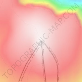
Name: Snow Dome topographic map, elevation, terrain.
Average elevation: 3,226 m
Minimum elevation: 2,334 m
Maximum elevation: 3,453 m
Thank you for supporting this site ❤️
Make a donation
Make a donation
Other topographic maps
Click on a map to view its topography, its elevation and its terrain.
Lawrence Glacier
Canada > Alberta > Improvement District No. 12 > Area A (Kicking Horse/Kinbasket Lake)
Average elevation: 2,619 m