
Thank you for supporting this site ❤️
Make a donation
Make a donation
Keno Hill topographic map
Click on the map to display elevation.
Thank you for supporting this site ❤️
Make a donation
Make a donation
About this map
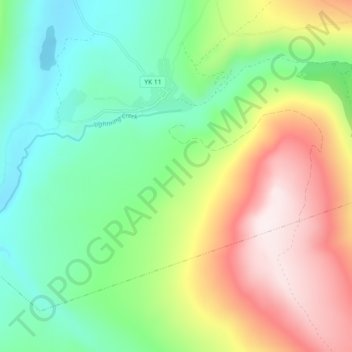
Name: Keno Hill topographic map, elevation, terrain.
Location: Keno Hill, Keno City, Yukon, Canada (63.88000 -135.32000 63.92000 -135.28000)
Average elevation: 1,077 m
Minimum elevation: 853 m
Maximum elevation: 1,448 m
Thank you for supporting this site ❤️
Make a donation
Make a donation
Other topographic maps
Click on a map to view its topography, its elevation and its terrain.