
Thank you for supporting this site ❤️
Make a donation
Make a donation
Sursee topographic map
Click on the map to display elevation.
Thank you for supporting this site ❤️
Make a donation
Make a donation
About this map
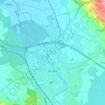
Name: Sursee topographic map, elevation, terrain.
Location: Sursee, Lucerne, 6210, Switzerland (47.16300 8.08242 47.19328 8.12971)
Average elevation: 510 m
Minimum elevation: 486 m
Maximum elevation: 675 m
Thank you for supporting this site ❤️
Make a donation
Make a donation
Other topographic maps
Click on a map to view its topography, its elevation and its terrain.
Thank you for supporting this site ❤️
Make a donation
Make a donation
Thank you for supporting this site ❤️
Make a donation
Make a donation