
Cerro Colorado topographic map
Interactive map
Click on the map to display elevation.
About this map
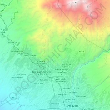
Name: Cerro Colorado topographic map, elevation, terrain.
Location: Cerro Colorado, Province of Arequipa, Arequipa, 0154, Peru (-16.40757 -71.65199 -16.18909 -71.49935)
Average elevation: 3,105 m
Minimum elevation: 2,059 m
Maximum elevation: 6,055 m