
Thank you for supporting this site ❤️
Make a donation
Make a donation
St. Albert topographic map
Click on the map to display elevation.
Thank you for supporting this site ❤️
Make a donation
Make a donation
About this map
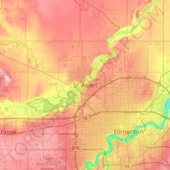
Name: St. Albert topographic map, elevation, terrain.
Location: St. Albert, Alberta, T8N 3Z9, Canada (53.47324 -113.78885 53.79324 -113.46885)
Average elevation: 681 m
Minimum elevation: 608 m
Maximum elevation: 735 m
Thank you for supporting this site ❤️
Make a donation
Make a donation
Other topographic maps
Click on a map to view its topography, its elevation and its terrain.