
Pellegrini topographic map
Interactive map
Click on the map to display elevation.
About this map
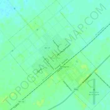
Name: Pellegrini topographic map, elevation, terrain.
Location: Pellegrini, Partido de Pellegrini, Buenos Aires, Argentina (-36.28732 -63.18596 -36.24692 -63.13882)
Average elevation: 114 m
Minimum elevation: 108 m
Maximum elevation: 119 m