
Thank you for supporting this site ❤️
Make a donation
Make a donation
Lac Asselin topographic map
Click on the map to display elevation.
Thank you for supporting this site ❤️
Make a donation
Make a donation
About this map
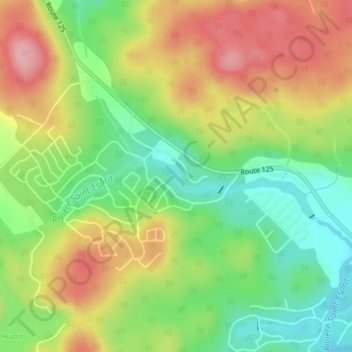
Name: Lac Asselin topographic map, elevation, terrain.
Location: Lac Asselin, Rawdon, Matawinie, Lanaudière, Québec, Canada (46.02133 -73.79586 46.02397 -73.78815)
Average elevation: 224 m
Minimum elevation: 157 m
Maximum elevation: 299 m
Thank you for supporting this site ❤️
Make a donation
Make a donation
Other topographic maps
Click on a map to view its topography, its elevation and its terrain.