
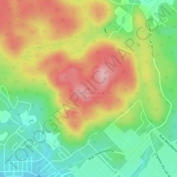
Mont Pontbriand topographic map
Interactive map
Click on the map to display elevation.
About this map
Name: Mont Pontbriand topographic map, elevation, terrain.
Average elevation: 237 m
Minimum elevation: 156 m
Maximum elevation: 330 m
Other topographic maps
Click on a map to view its topography, its elevation and its terrain.
Lac Pontbriand
Canada > Québec > Matawinie > Rawdon
Lac Pontbriand, Rawdon, Matawinie, Lanaudière, Québec, J0K 1S0, Canada
Average elevation: 213 m
Lac Asselin
Canada > Québec > Matawinie > Rawdon
Lac Asselin, Rawdon, Matawinie, Lanaudière, Québec, Canada
Average elevation: 224 m