
Thank you for supporting this site ❤️
Make a donation
Make a donation
Baddegama topographic map
Click on the map to display elevation.
Thank you for supporting this site ❤️
Make a donation
Make a donation
About this map
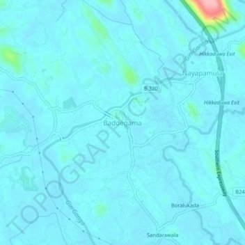
Name: Baddegama topographic map, elevation, terrain.
Location: Baddegama, Galle District, Southern Province, 80333, Sri Lanka (6.15248 80.15792 6.19248 80.19792)
Average elevation: 11 m
Minimum elevation: -1 m
Maximum elevation: 141 m
Thank you for supporting this site ❤️
Make a donation
Make a donation
Other topographic maps
Click on a map to view its topography, its elevation and its terrain.