
Thank you for supporting this site ❤️
Make a donation
Make a donation
Tilley topographic map
Click on the map to display elevation.
Thank you for supporting this site ❤️
Make a donation
Make a donation
About this map
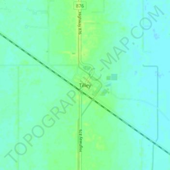
Name: Tilley topographic map, elevation, terrain.
Location: Tilley, Division No. 2, Alberta, Canada (50.43090 -111.67231 50.47090 -111.63231)
Average elevation: 750 m
Minimum elevation: 746 m
Maximum elevation: 757 m
Thank you for supporting this site ❤️
Make a donation
Make a donation
Other topographic maps
Click on a map to view its topography, its elevation and its terrain.