
Thank you for supporting this site ❤️
Make a donation
Make a donation
Zennewijnen topographic map
Click on the map to display elevation.
Thank you for supporting this site ❤️
Make a donation
Make a donation
About this map
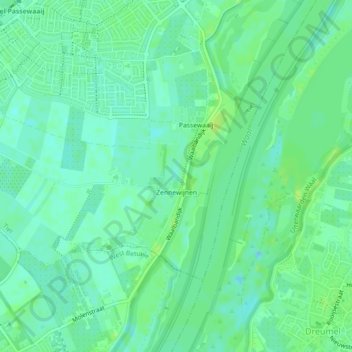
Name: Zennewijnen topographic map, elevation, terrain.
Location: Zennewijnen, Tiel, Gelderland, Nederland (51.85180 5.37841 51.86809 5.42298)
Average elevation: 6 m
Minimum elevation: -1 m
Maximum elevation: 12 m
Thank you for supporting this site ❤️
Make a donation
Make a donation
Other topographic maps
Click on a map to view its topography, its elevation and its terrain.