
Make a donation
Cape Fold Mountains topographic map
Click on the map to display elevation.
Make a donation
Cape Fold Mountains
The degree to which the original Cape Fold mountains (formed during the Carboniferous and early Permian Periods) have been eroded is attested to by the fact that the 1 km high Table Mountain on the Cape Peninsula is a syncline mountain, meaning that it formed part of the bottom of a valley when the Cape Supergroup was initially folded. The anticline, or highest elevation of the fold between Table Mountain and the Hottentots-Holland Mountains (1.2 to 1.6 km elevation), on the opposite side of the isthmus connecting the Peninsula to the Mainland, has been eroded away. The Malmesbury shale and granite basement on which this anticline mountain rested also formed an anticline; but being composed of much softer rocks, readily eroded into a 50 km wide flat plain, (now covered with dune sands) called the "Cape Flats".
Make a donation
About this map
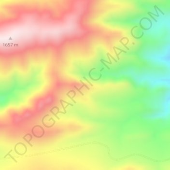
Name: Cape Fold Mountains topographic map, elevation, terrain.
Average elevation: 1,419 m
Minimum elevation: 1,136 m
Maximum elevation: 1,667 m
Make a donation
Other topographic maps
Click on a map to view its topography, its elevation and its terrain.
Prince Albert Ward 2
South Africa > Western Cape > Central Karoo District Municipality > Prince Albert Local Municipality
Average elevation: 888 m