
Brunnweg topographic map
Interactive map
Click on the map to display elevation.
About this map
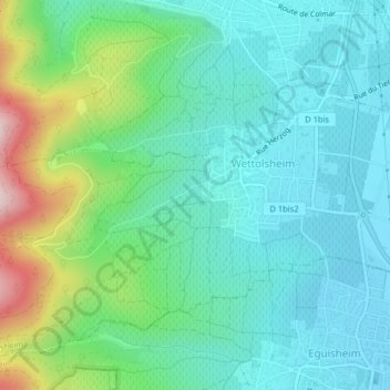
Name: Brunnweg topographic map, elevation, terrain.
Average elevation: 282 m
Minimum elevation: 196 m
Maximum elevation: 545 m
Other topographic maps
Click on a map to view its topography, its elevation and its terrain.
Château de Hagueneck
France > Grand Est > Haut-Rhin > Wettolsheim
Château de Hagueneck, Sentier Hertzog, Wettolsheim, Colmar-Ribeauvillé, Haut-Rhin, Grand Est, France métropolitaine, 68920, France
Average elevation: 431 m